Youghal churchyard burial locations
Background
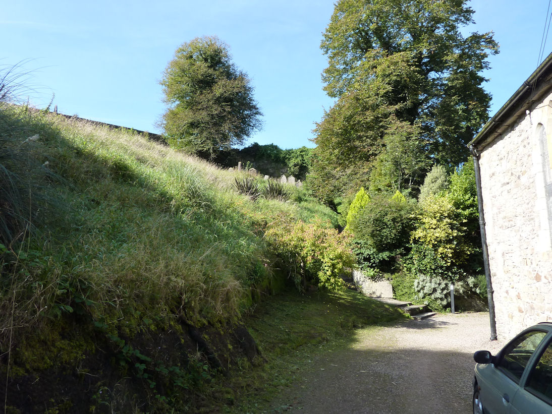
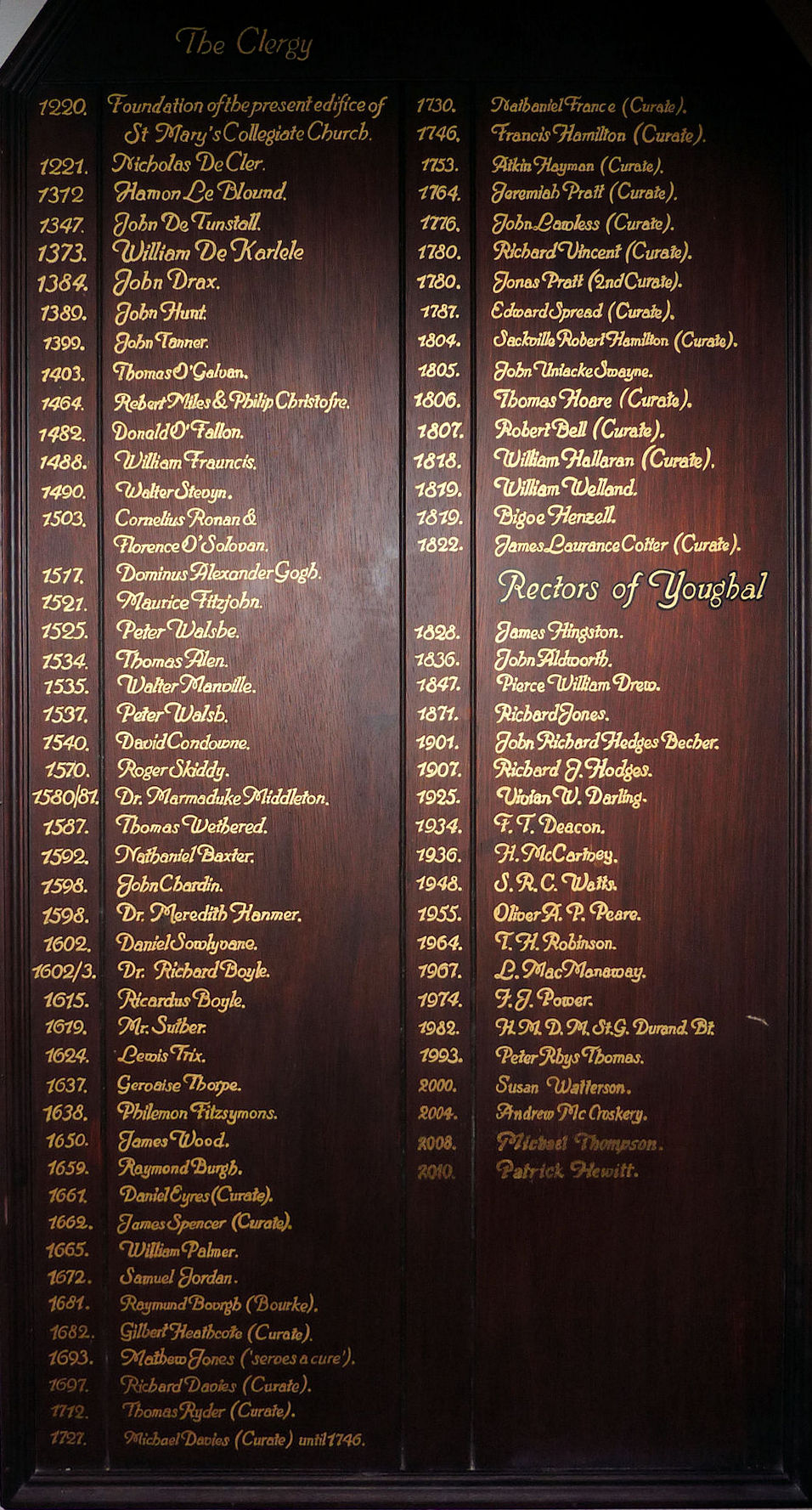
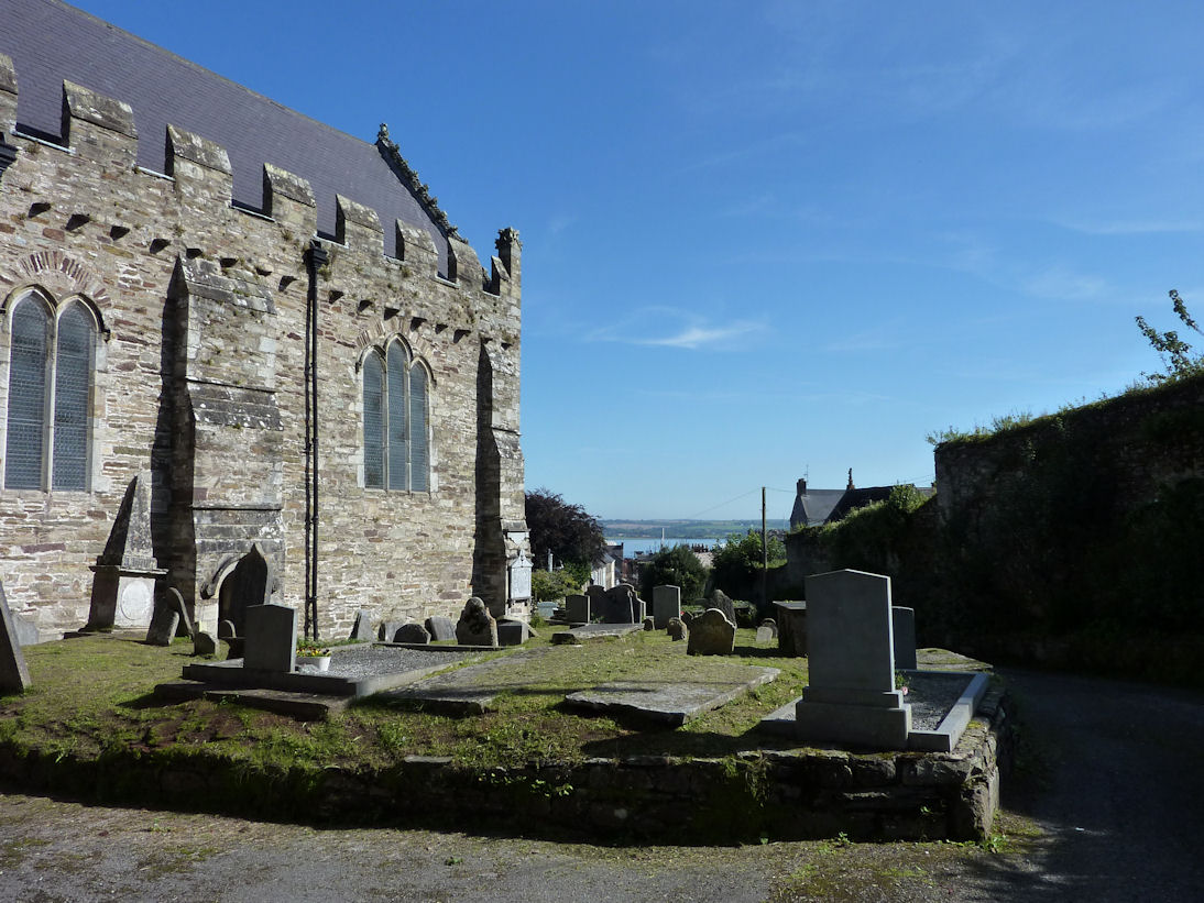
St Mary's Youghal has a very long history. Its registers date from the 1600s with a few gaps. Its vestry books and copies date from the middle 1700s. Its solid stone construction has overlooked the town for centuries. It occupies a large plot of land in a corner of the town walls. Some of the land is steeply sloping while other parts are relatively level
In the early part of the twentieth century an advanced concept was brought to fruition. The project was to index the locations of memorials in the churchyard and the church.
The fruits of this project are still extant and adorn the vestry walls. The first artifact, 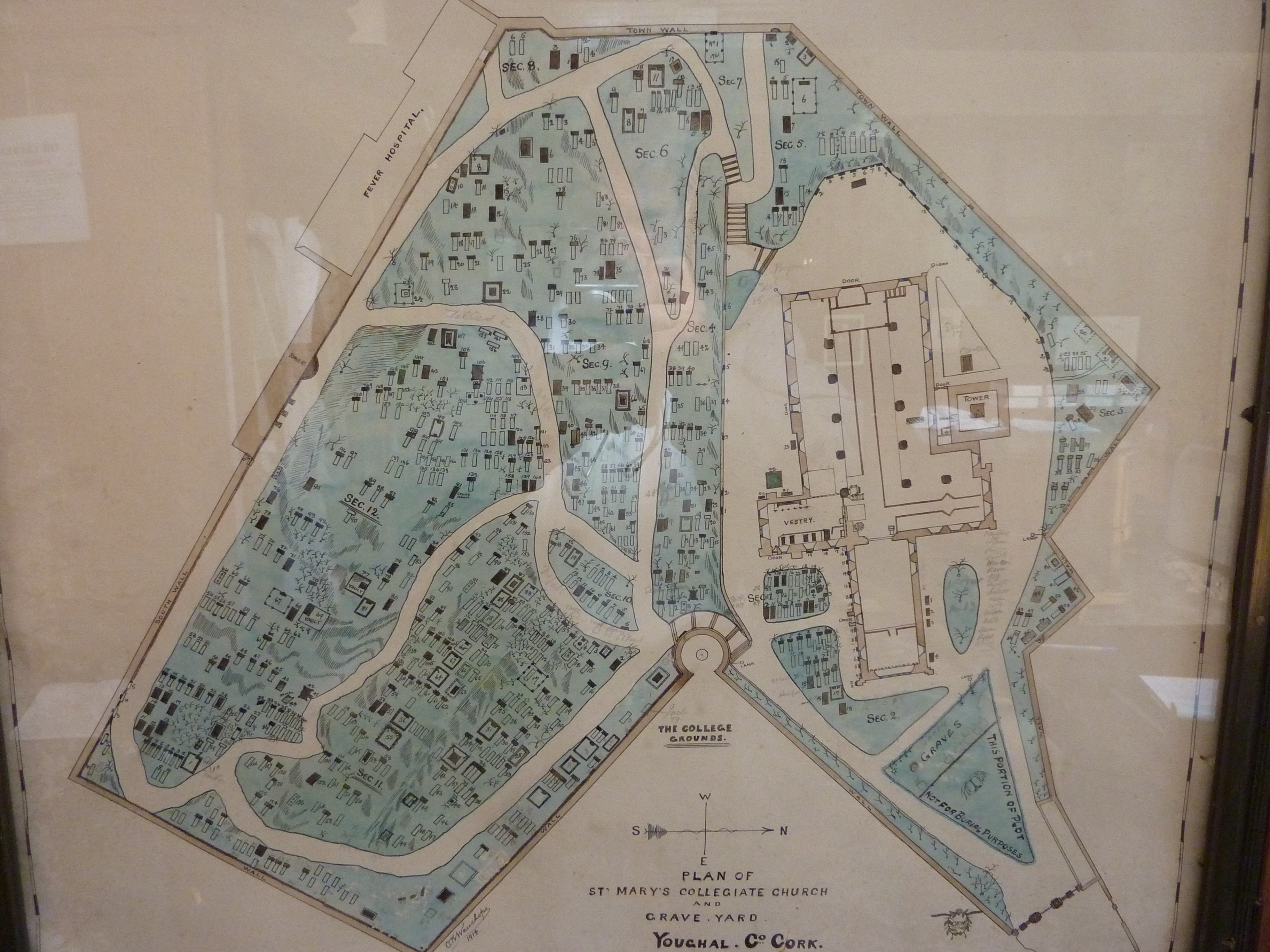 , is a map of the church and churchyard
divided into sections with numbers denoting the position of memorials. It is a snapshot in time and is dated 1914. Many burials over time did not have memorials and some of the memorials recorded in 1914 may have decayed beyond recognition. Moreover, later memorials have been erected in the intervening century.
, is a map of the church and churchyard
divided into sections with numbers denoting the position of memorials. It is a snapshot in time and is dated 1914. Many burials over time did not have memorials and some of the memorials recorded in 1914 may have decayed beyond recognition. Moreover, later memorials have been erected in the intervening century.
The second artifact is a index list in partial alphabetic order and a list of names in plot order. Together they provide a very useful resource for family historians whoes ancestors may have buried at Youghal. Of course, more burials are recorded in the parish records so these should also be searched for information about burials.